Geography
District plan, effective date, cities, counties, postal ZIP relationships, and Census geography.
Dataset not loaded in this edition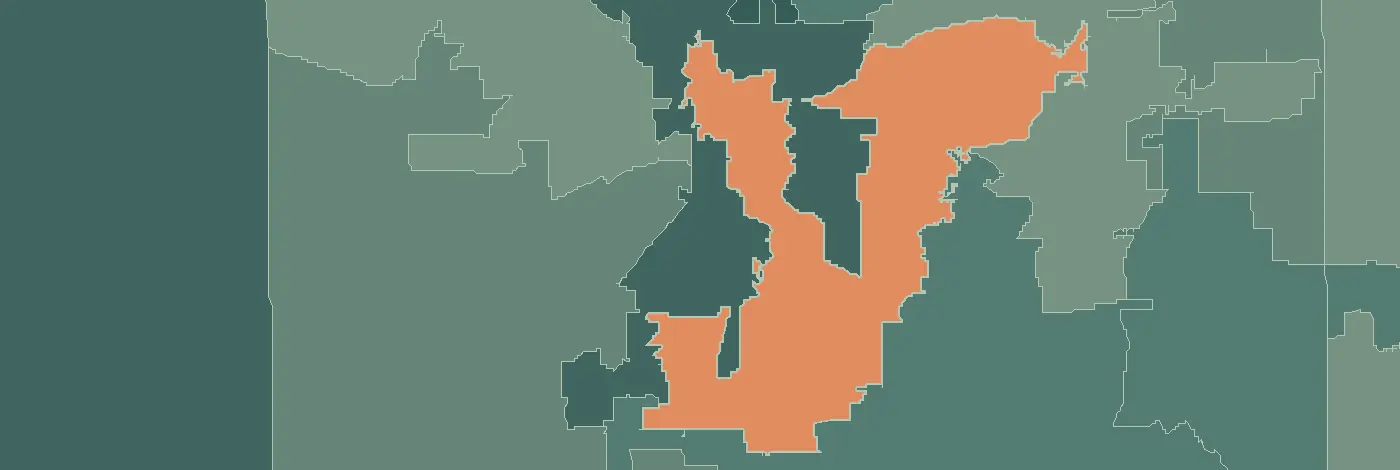
Nicole Collier · Fort Worth · Tarrant (part)
Use the district-analysis links on the official member page for the district map, profile reports, population analysis, cities and CDPs, and ZIP-code report. This page organizes the investigation; it does not substitute a postal ZIP for a legislative boundary.
District plan, effective date, cities, counties, postal ZIP relationships, and Census geography.
Dataset not loaded in this editionPopulation characteristics with original geography, estimate year, and uncertainty.
Dataset not loaded in this editionEstablishments, industries, ownership evidence, and the dates of business records.
Dataset not loaded in this editionAccess, provider locations, and public measures at their actual reporting geography.
Dataset not loaded in this editionSchools, districts, higher education, and source-specific outcome measures.
Dataset not loaded in this editionTransportation, broadband, utilities, environmental conditions, and public-service access.
Dataset not loaded in this editionNo joined district metrics are published here yet. ZIPs may overlap multiple legislative districts; an address-based lookup and a documented crosswalk serve different purposes. Community conditions do not, by themselves, measure a legislator’s performance.